The voyage begins
Early wayfinding explorers used traditional methods of navigation. They used key elements from their surroundings to find their way to discovering new land.
- Where are you?
- Where are you heading?
The human mind observes and stores the journey as a mind-map. Distances, locations and time may be remembered differently than as they appear to be in reality. Signs, landmarks and directions are interpreted as signals and helps to guide along the way.
We use our personal knowledge, look at inference for common patterns and use previous experiences to find destinations. This article explores a history of navigation and view a on the general understanding of ways in which we all tend to navigate in terra incognita.
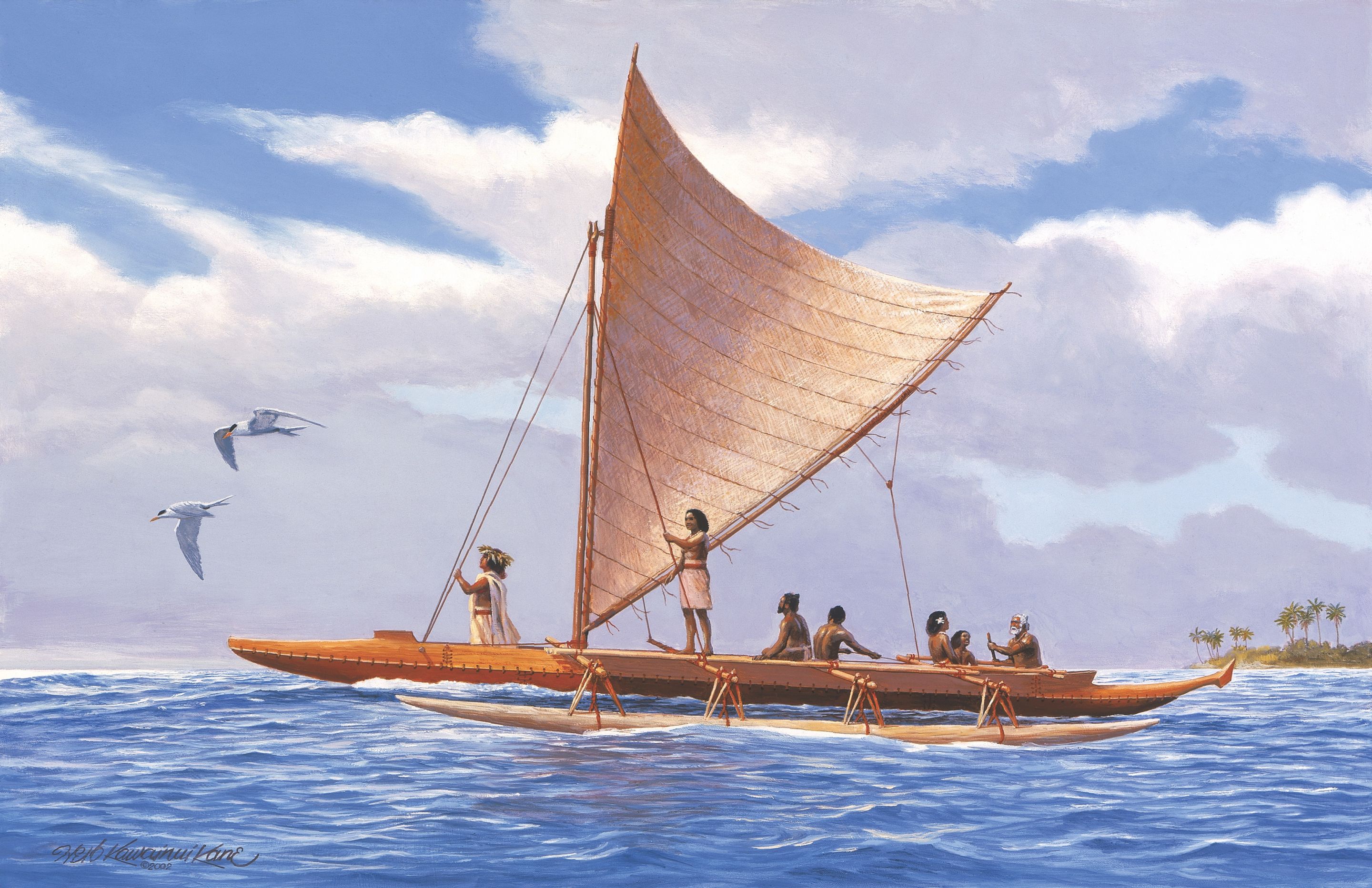
Early wayfinding polynesian navigators
Between 500 - 700 BC explorers began sailing the sea and started their travels towards finding new land. Sea is not as big as a barrier if you know where you are heading to and able to find your way back… Interesting enough early sea explorers didn't have maps, compasses, clocks or sextents to navigate. The new land was yet to discover and no information on how to get there, or return home, was available.
The discovery of the Polynesian islands by, from origin, Asian inhabitants tells a story on how they found those islands in the middle of the South Pacific. Voyages would take up to months and they sailed over 2000 km to discover new land, but how did they navigate? And how can we learn from their knowledge in the ancient way of getting around?
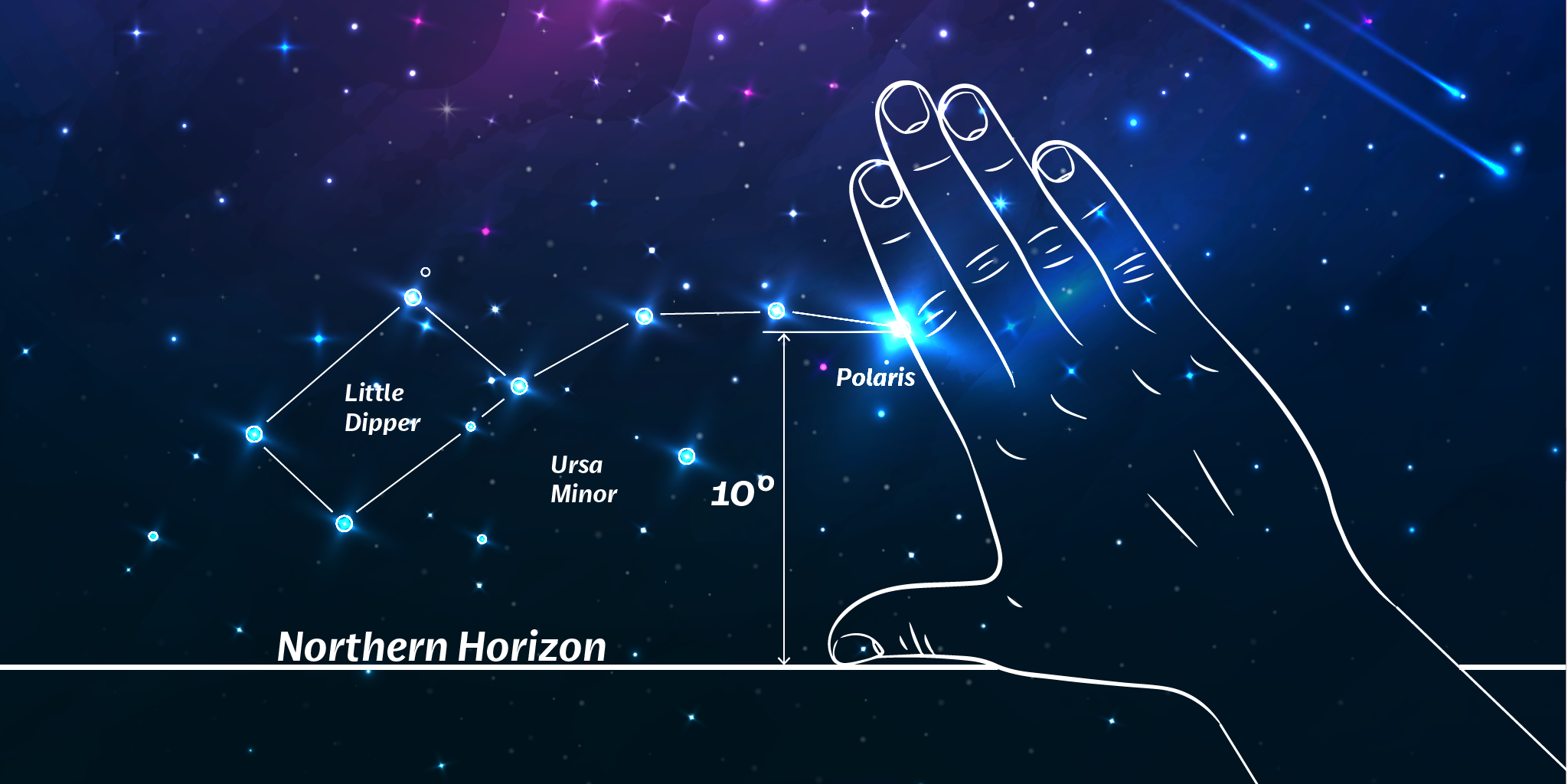
The Polynesians traveled over vast expanses of open ocean across the Pacific. In order to locate directions they memorized at various times of day and year the important facts of their surroundings. The traditional Polynesian navigation methods included memorizing the motion of stars; rise and set of the sun on the horizon; the direction, size and speed of ocean waves; gathering of clouds that cluster at specific locations; direction of winds and the following of wildlife of the ocean such as birds and fish.
Understanding how these explorers used their senses and ways of memorizing their surroundings can help us understanding how to design effective wayfinding systems today and tomorrow.
The traditional navigation by the Polynesian is also called non-instrument navigation — which means finding your way without the usage of modern tools. Instead, looking at the characteristic patterns in the surroundings they could build a mental map and used that to navigate. Those 'fingerprints' on the open ocean could well be referenced as todays 'landmarks'. History describes how the navigators kept a mental log of their journey, maintaining a sense of distance from where they started along their way. The structure that the navigators used in ancient history is similar as we apply in wayfinding strategy today.
- Planning, what is the strategy?
- Setting the course, which way to go?
- Holding the course, how far we need to travel?
- Finding land, are we there yet?
- Returning home, which way to head back?
Although the traditional Polynesian ways to navigate is almost extinct. The wayfinders of Polynesia traveled over one fifth of the surface of the planet and largest culture sphere in human history.
Navigation is not about you, or your mind, or what you can do. It's not about the sun and stars. It's really about everything. Shortly Bertelman, navigator
Holistic approach to wayfinding
Important steps in developing a wayfinding strategy is to look beyond a specific environment, space or building. Wayfinding doesn't start or stop at specific places. A wayfinding system comprises communications that may involve multiple media to help people navigate an environment. This emphasizes the importance of the whole and the interdependence of its parts, also referred as the Holistic Approach.
The Holistic Approach defines a wayfinding process that is researched and analyzed for the needs of the user. The objectives may include virtual and physical communication tools such as websites, signs, information systems, organizational goals, increasing customer satisfaction, placemaking or media support. Overall goal of the Holistic Approach includes to provide a better user-experience. Taking time to research the objectives will ensure the resulting wayfinding system goals are managed for optimal results. The boundaries between the abstract digital world and the real physical world starts to blur and the way that we experience wayfinding is starting to change.
Key takeaway
Wayfinding could well be put into a wider objective, today we live in a global economy and as a result we should re-think how we communicate. Wayfinding can act as stepping stone to connect people, movement and places efficiently. Taking wayfinding beyond 'signs with arrows' and an integrated communication system will emerge.
The concept is relative simple — show the right message at the right time. Make use of integrated communication systems to allow the user to have seamless journeys and engaging discoveries.
References
- Dragons, Memory & Navigating the Globe Using Only Your Wits Link