Interconnect Roermond
Developing a holistic pedestrian wayfinding system to connect public transport and the city of Roermond.
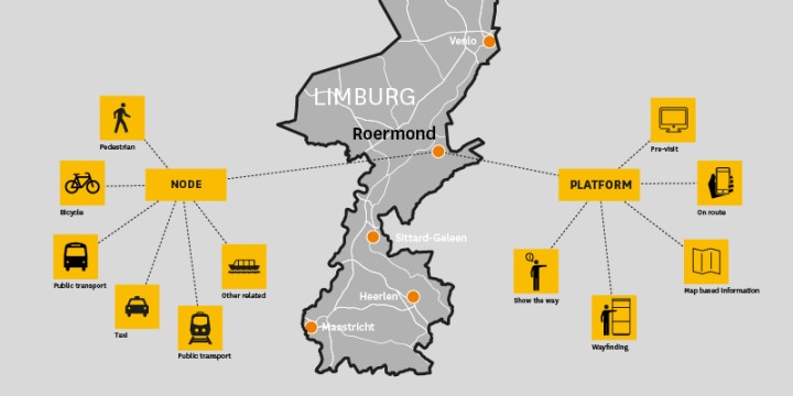
Wayfinding framework
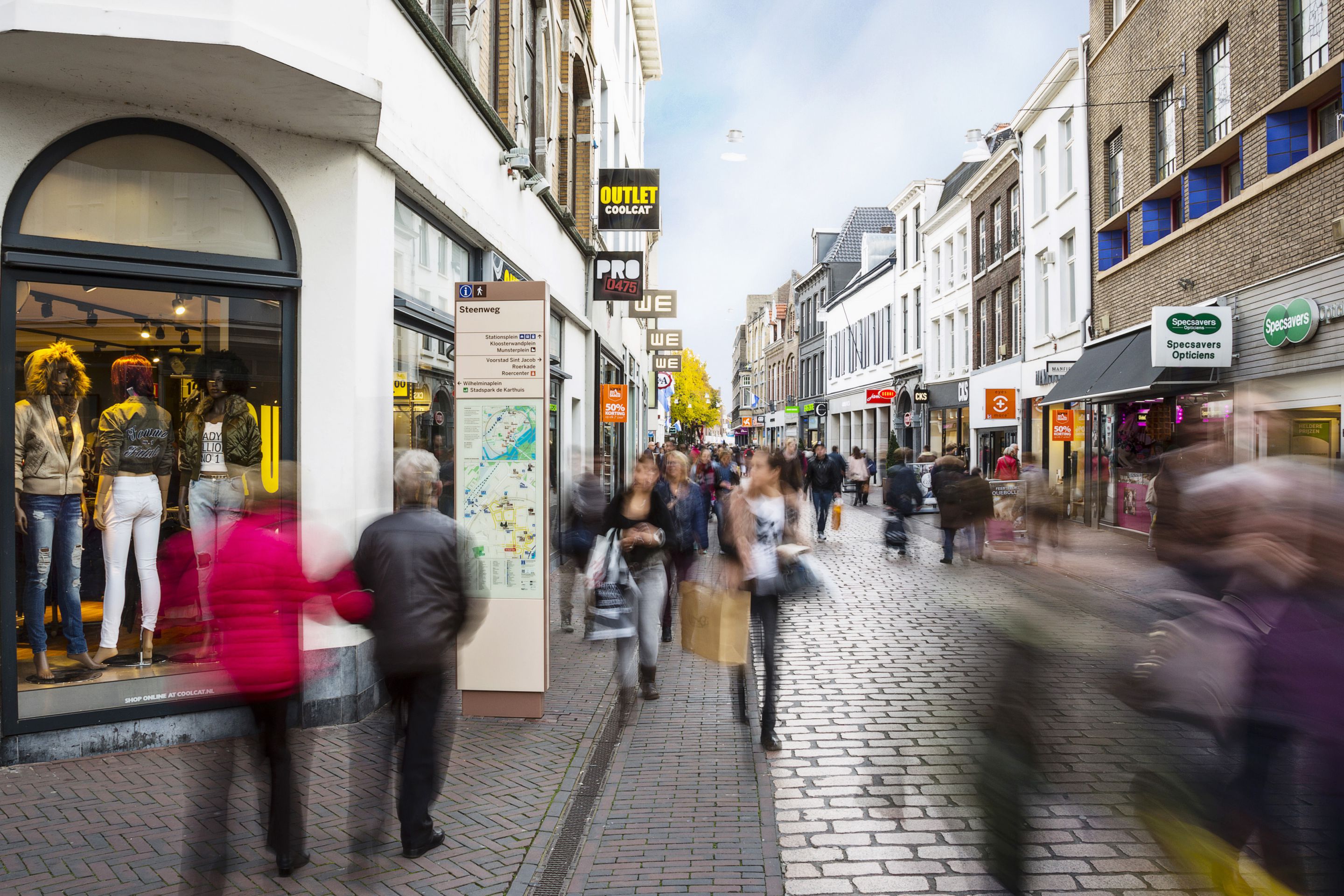
The pedestrian wayfinding system for Roermond is focused on enhancing the quality of the city and economic possibilities. A holistic dfesign approach to connect public transport, destinations in the city and showing the right information at the right time focused on the user.
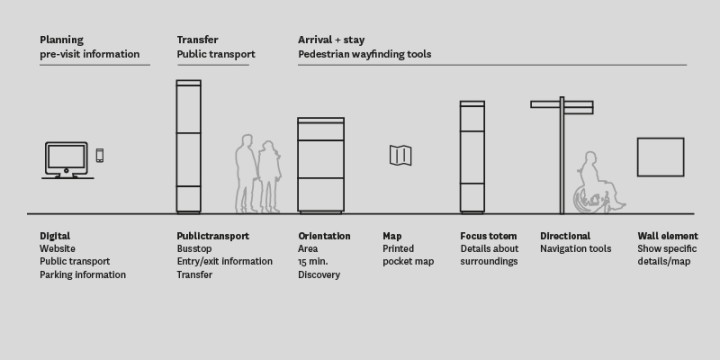
Connecting Roermond to its surrounding cities by providing information at entry and exit points about destinations. A clear and concise wayfinding system based on international best practice 'legible cities concept'. The wayfinding framework consists of a toolset for pre-visit information, on route and detailed information about the city of Roermond.
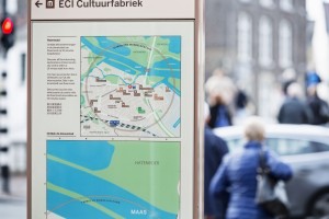
Mental Mapping
A mental map is a persons unique reference of its surroundings. For each individual the mental map is unique and plays a part in understanding a city. People navigate cities by memorizing landmarks and key decision points. Rotated maps for wayfinding systems taps into creating mental maps by showing landmarks and routes, to create a clear understanding of the surroundings.

Features
The wayfinding approach for Roermond, focuses on showing the right information at the right time. To address tourism from Germany, France and China, the wayfinding system shows translated information.