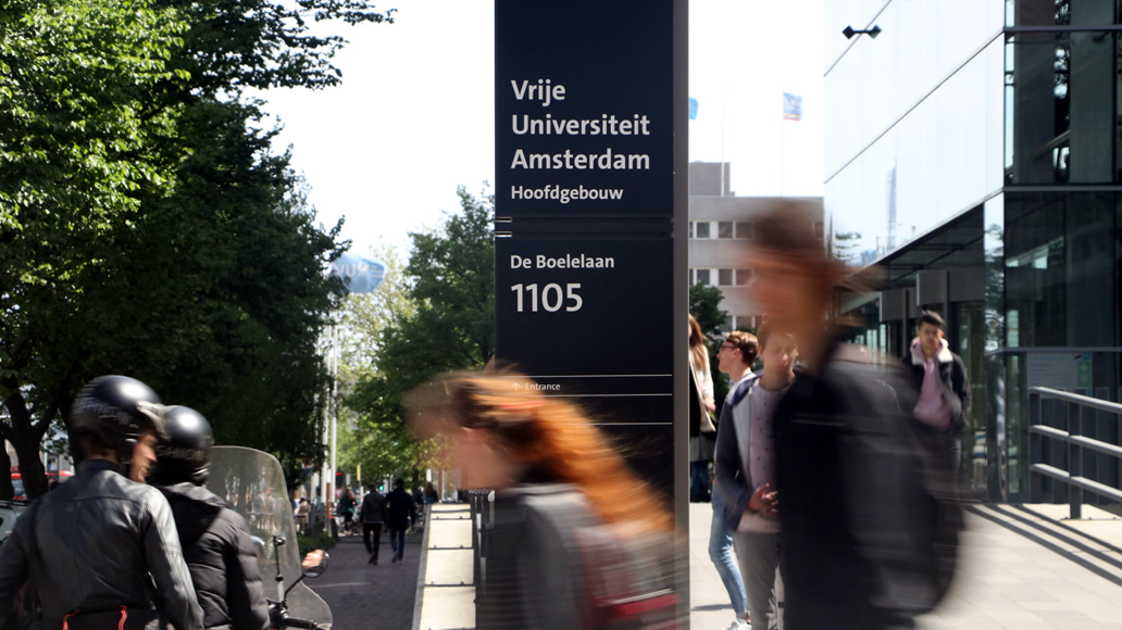
VU Campus
A map based wayfinding system for VU Campus connected to the Amsterdam Zuidas.
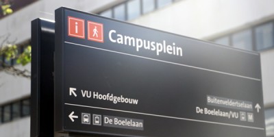
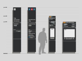
Campus wayfinding
A wayfinding system to connect VU university campus, VUmc hospital and its surroundings. The campus is situated at the Zuidas area in Amsterdam, the vibrant economic district. The wayfinding system focuses on showing a clear understanding of the surroundings and details about buildings and key-destinations in the area.
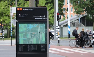
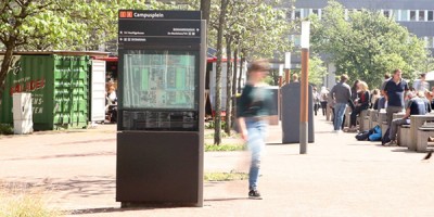
Map based wayfinding
Key features of the wayfinding system is based on head up rotated maps for a clear understanding of the surroundings. The wayfinding tools are focused on showing information for visitors and students.