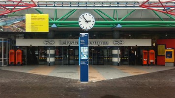
Lelystad
Lelystad is a relative new city and growing rapidly. A city with a wide variety of culture, living, shopping and social activities. We developed a clear wayfinding system that helps you navigate the city.
City Wayfinding Lelystad
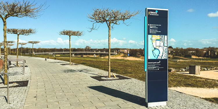
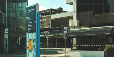
The city wayfinding products are developed for a connected city that involves publics transport connections, cyclists, pedestrian and motorized transport. The city wayfinding products adapts to the user in providing the right message at the right time. This includes wider wayfinding products for open spaces and smaller/narrow streets.
Wayfinding
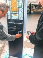
There is a clear connection between physical and digital information. The signs include scanning codes that provide digital information about the surroundings.
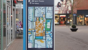
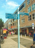
The map based products are supported by signposts that guide visitors to their destinations within the city. A unique fingerpost design that connects the city to information to people.
International best-practice
The wayfinding design is based on international research on pedestrian wayfinding for cities. Clear information solutions for pedestrians helps to orientate and navigate and experience the city more. Key purpose is finding attractions, sightseeing, events, shopping areas, residential area and recreation.
Map design includes 3D images of buildings, 5 minutes walking circles, safe crossings and more. The design adapts to the city marketing of Lelystad and plays a key role in identification on street level.