Designer iPhone Apps
A list of iPhone apps for designers who use their mobile device more than just for calling.
iPhone apps are a huge extension to the workflow of every professional designer. This list is a large collection of work apps for your iPhone to manage your online files, create a mindmap, record messages, send business cards, pick a color and convert it into another, make calculations and much more. This list provides over 20+ iPhone applications, some are paid, some are free, let me know what iPhone App you use.
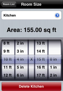
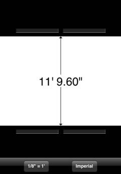
Rulerplus

- Price FREE
- iTunes link
OMNI Focus

- Price PAID
- iTunes link
AIR Sharing
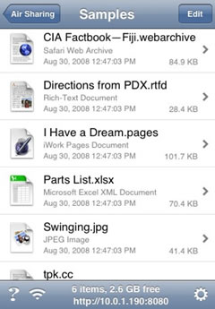
- Price PAID
- iTunes link
OpticsCalc
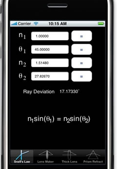
- Price PAID
- iTunes link
10base-t interactive
- Price FREE
-iTunes link
Airdesign Chair
- Price PAID
- iTunes link
Palettes

- Price PAID
- iTunes link
ZeptoPad
- Price PAID
- iTunes link
Things
- Price FREE
-iTunes link
BeamCalc
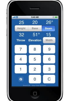
- Price PAID
- iTunes link
ColorExpert
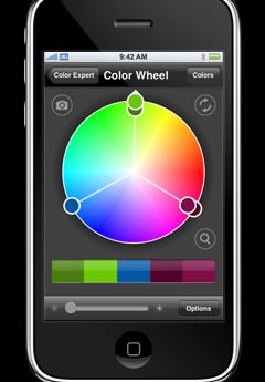
- Price PAID
-iTunes link
Files
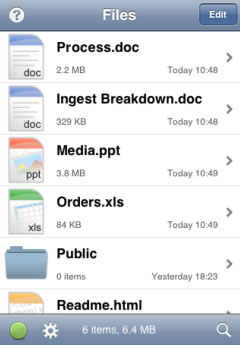
- Price PAID
- iTunes link
BeamMe
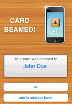
- Price FREE
- iTunes link
i41CX+
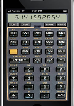
- Price PAID
- iTunes link
iBlueSky
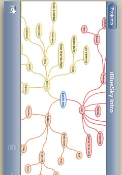
- Price PAID
- iTunes link
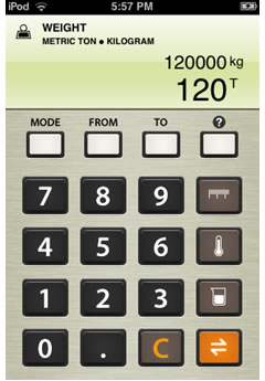
Equivalence
- Price PAID
- iTunes link
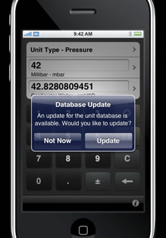
Units
- Price PAID
- iTunes link
Scale Rule
- Price PAID
- iTunes link
Caliper
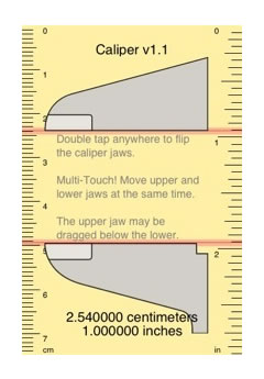
- Price PAID
-iTunes link
Google Calender
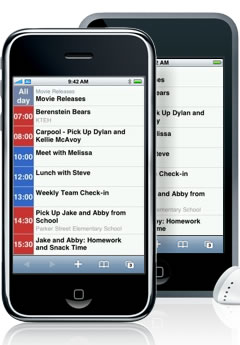
- Price FREE
- iTunes link
Dexigner News & Events

- Price FREE
- iTunes link